Technology Solutions
Explore our Technology Solutions to Make Your Business More Cost-effective
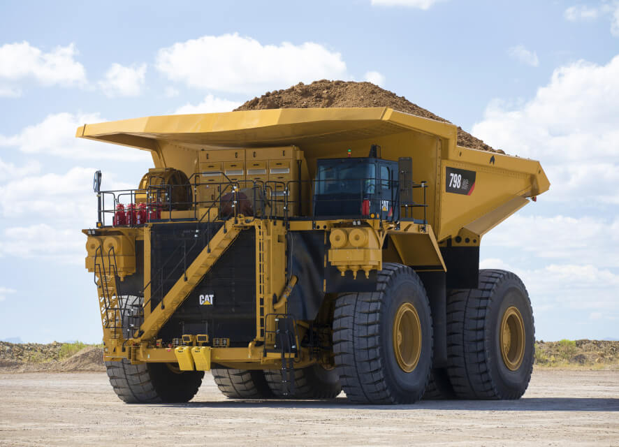
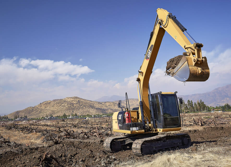
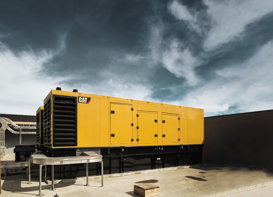
Finning Technology Solutions is here to help our customers improve the productivity, efficiency, and safety of their operations. We partner with our customers in the Oil & Gas, Mining, Quarry, Forestry, Construction, Energy, and Transportation industries to better realize stronger results through the use of on-machine and in-office technology.